Editor’s Note: Mattias Green is a Senior Lecturer in Physical Oceanography at Bangor University. The opinions expressed in this commentary are solely those of the author. CNN is showcasing the work of The Conversation, a collaboration between journalists and academics to provide news analysis and commentary. The content is produced solely by The Conversation.
Story highlights
Debris found on Reunion Island appears likely to be from MH370, says Mattias Green
He says if confirmed, it would mean the wreckage had traveled around 5,000km in 15 months or so
The find could help searchers narrow down their search area, he says
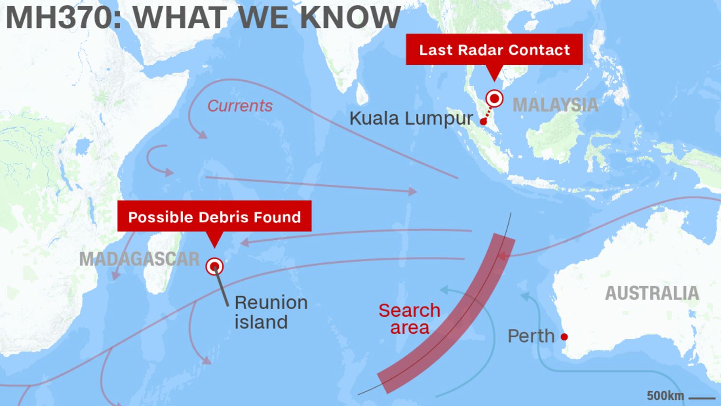
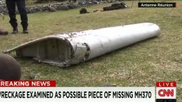
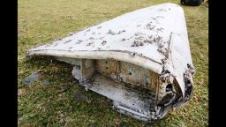
It appears that the debris washed ashore on Reunion, an island east of Madagascar, may be from the missing Malaysia Airlines Flight MH370 which disappeared in March 2014 and is believed lost at sea somewhere to the west of Australia.
Reunion lies 500km east of Madagascar near the island of Mauritius, around 4,000km from the area where search efforts for the missing aircraft have been concentrated. That’s a huge distance to travel, even in the 500 or so days it has been since the crash. Is this possible from an oceanographic perspective?
Certainly, it’s possible that aircraft debris – which is built to be relatively lightweight, otherwise it would be difficult for the aircraft to fly – can float quite close to the surface. The near-surface ocean currents in the region are mainly driven by broad wind patterns.
In the southern Indian Ocean, the average long-term near surface circulation is counter clockwise, and so material that enters the ocean southwest of Australia would be carried by the West Australia current northwards, towards the equator. There it could join the South Equatorial current moving westwards until it joined the Mozambique current traveling along the African coast and past Reunion.
The distance traveled – roughly 5,000-6,000km in 15 months or so – gives an average speed of about 15cm/s. This is quite a reasonable value for the currents in the upper levels of the ocean water column where such debris might find itself suspended.
Opinion: Pilot: What the wreckage tells us
Using ocean currents to look back into the past
Even if it is part of Flight MH370, does this provide us with any new information that could help investigators pinpoint the crash site location?
Perhaps “pinpoint” is too strong a word. But it’s certainly possible to use numerical ocean circulation models to trace the route the debris might have taken and suggest new regions of the ocean to search.
Such simulations come with certain assumptions. Just as a weather forecast becomes less accurate the further ahead we try to predict, attempting to recreate a journey like this through simulation becomes less certain the further back into the past we have to travel.
This is because the circulation transporting the debris would be driven by winds, and we are talking about winds over a remote part of the ocean.
If debris is from missing plane, what’s next?
Consequently any uncertainty in the wind field used in the model will introduce uncertainty into the model simulations of the ocean currents, which would in turn create potentially large variability in any predictions of the location of a crash site the ocean currents dragged the debris from.
This is not to say that it’s not worth doing – it may very well indicate which part of the ocean the search should focus on, and perhaps even more importantly rule out areas not worth visiting. If one piece of wreckage has emerged, then there may be more to come, which could add accuracy to the prediction model.
Ultimately, when searching an ocean area as huge as the Indian and Southern oceans, any help is better than nothing at all.