Hurricane Sally heads toward US Gulf Coast

By Meg Wagner and Judson Jones, CNN

Updated 8:01 p.m. ET, September 15, 2020
40 Posts
Sort byDropdown arrow
7:16 p.m. ET, September 15, 2020

Tornado watch extended through Wednesday morning

CNN Meteorologist Haley Brink

A new tornado watch has been issued for much of the Florida Panhandle and a small portion of southwestern Alabama. This watch is in effect until 6 am CDT.

"A tornado watch means conditions are favorable for tornadoes and severe thunderstorms in and close to the watch area," according to the Storm Prediction Center (SPC).

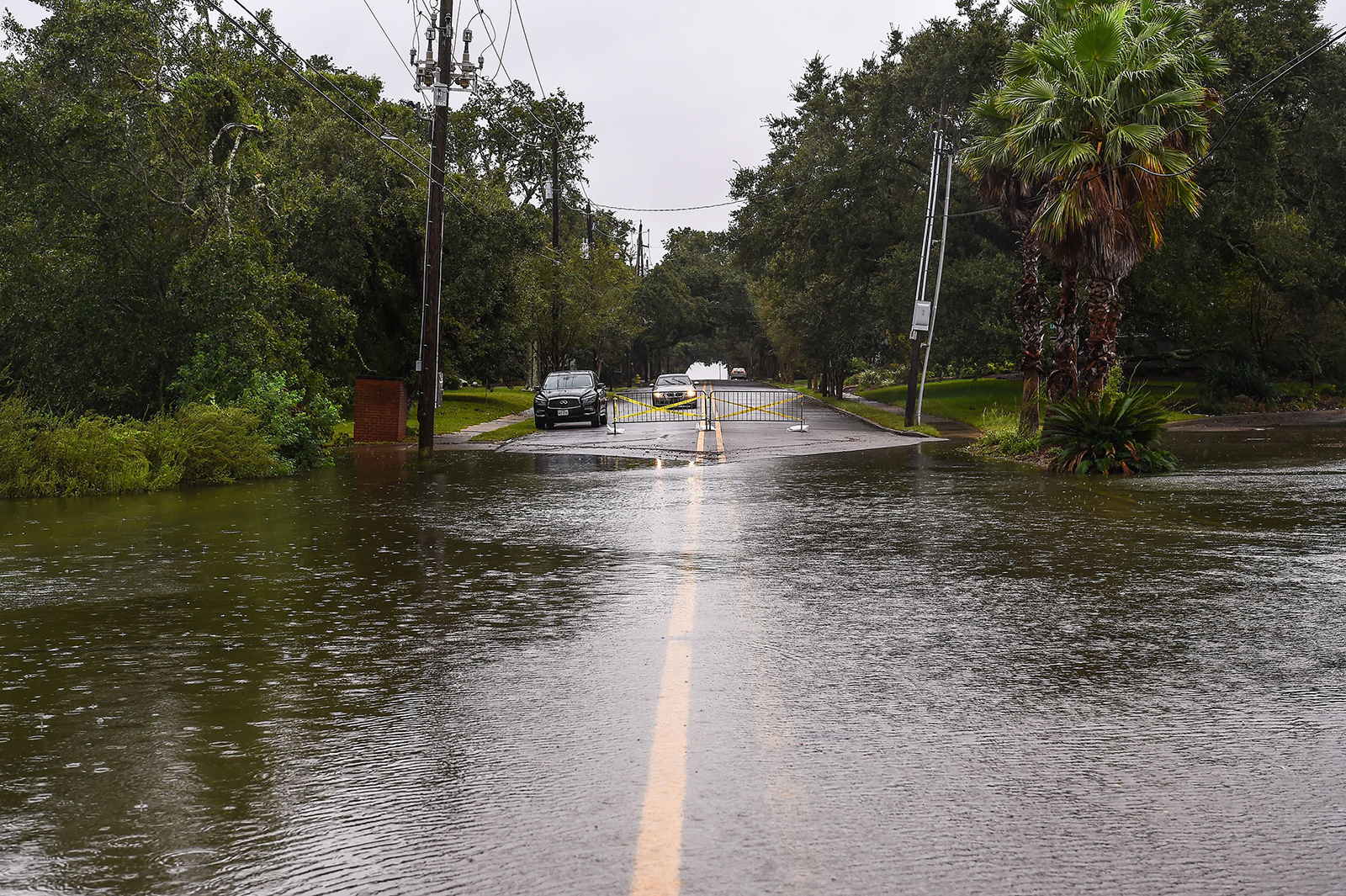
Hurricane Sally will continue to slowly move north toward to Gulf Coast through Wednesday morning bringing convective bands inland, east of the center of the storm. A couple tornadoes will be possible this evening and into the overnight hours as embedded supercells reach the coast.

Waterspouts are also possible offshore, as this tornado watch also includes the coastal waters off of Alabama and the Florida Panhandle. Any tornadoes or waterspouts that do form will be relatively short lived.

7:02 p.m. ET, September 15, 2020

Power outages will increase as Sally nears the northern Gulf Coast

CNN Meteorologist Tyler Mauldin

Slow-moving, Hurricane Sally is already causing Gulf Coast residents to lose power.

These outage numbers are sure to rise as the hurricane’s core winds come ashore and heavy rain continues to pour.

Outages are not only likely near the coast where Sally makes landfall. Neighboring states will feel affects, too. Customers in Georgia and the Carolina's could be left in the dark as the hurricane continues to move north through midweek. Line-workers will be able to restore power in between outer bands, so long as the winds between those bands are below 35 mph.

Alabama Power, Mississippi Power and Gulf Power report being able to secure additional resources, such as more line-workers and equipment, to restore power safely and as quickly as possible following Sally.

6:37 p.m. ET, September 15, 2020

Power outages reported along the Gulf Coast

From CNN’s Sharif Paget

As Hurricane Sally’s wind field begins to push onshore along the Gulf Coast, power outages in Alabama, Mississippi and Florida have already begun.

There are 18,229 customers without power in the three states this evening, according to PowerOutage.US.

Alabama is experiencing the most outages so far.  

Here's a breakdown of the outages:

  • Alabama: 11,026
  • Florida: 5,758
  • Mississippi: 1,445

6:23 p.m. ET, September 15, 2020

Florida activates members of the National Guard ahead of Hurricane Sally 

From CNN’s Devon Sayers

The Florida National Guard has activated 175 members ahead of Hurricane Sally, the Department of Emergency Management tweeted.

The department said that the Guard is preparing for search and rescue operations and have 30 high-water vehicles on standby to use.  

Other teams from State Fish and Wildlife and the Fire Marshal's office are also moving into the area that will be hit by the storm, the department said. 

7:15 p.m. ET, September 15, 2020

Flash flood watches extended over 300 miles north of Gulf Coast

CNN Meteorologist Haley Brink

Flash flood watches now extend over 300 miles north from the Gulf Coast to the southern Appalachians.

A flash flood watch was issued across much of northern and central Georgia this afternoon and is in effect beginning Wednesday afternoon through Friday morning.

"Sally is expected to bring heavy rain across north and central GA from Wed through Sat morning. Widespread 2-4" are possible with an axis of higher totals of 6"+ along the I-85 corridor," the National Weather Service office in Atlanta said on Tuesday.

The city of Atlanta is currently forecast to receive six to eight inches of rain from Sally, through Saturday morning. Atlanta has actually been fairly dry this September, seeing only 0.15 inches of rain so far this month. This is a deficit of nearly two inches, to date.

Normally Atlanta averages just under three and a half inches of rain through the month of September. If the rainfall forecast pans out, the city could see two times the average rain normally seen in the month of September.

6:20 p.m. ET, September 15, 2020

Flash flooding already occurring along the Gulf Coast

CNN Meteorologist Haley Brink

Sally has already brought at least six inches of rain to portions of southern Alabama and the Florida Panhandle, and even more rain is expected to fall across that region.

"Flash flooding is already occurring," the National Weather Service office in Mobile said Tuesday evening.

Flash Flood Warnings have been issued for immediate portions of the Gulf Coast and includes Gulf Shores, Alabama, Pensacola, Florida, and Panama City, Florida.

Additional rainfall amounts of up to 10 inches is possible in the warned areas through Tuesday evening. Potential total rainfall of 20 to 30 inches is forecast through Wednesday as Sally pushes inland. 

6:20 p.m. ET, September 15, 2020

Hurricane Sally's winds spreading onshore along Gulf Coast

From CNN's Brandon Miller 

Hurricane Sally’s wind field is beginning to push onshore along the US Gulf Coast, according to the latest update from the National Hurricane Center. 

Tropical-storm-force winds, meaning sustained winds of 39 mph or greater, with higher gusts, have started to impact coastal locations of Alabama, Mississippi, and the Florida Panhandle on Tuesday afternoon. Mobile, Alabama, reported a wind gust of 55 mph in the last hour, while Okaloosa, Florida had a gust to 52 mph. 

Along with the gusty winds, torrential rainfall is occurring for much of southern Alabama and western Florida, and the NHC warns of “historic life-threatening flooding” for the region.

Rainfall has already totaled up to six inches in the Florida Panhandle and up to 20 inches could fall in places before the storm leaves the region on Thursday.

Currently, the center of Hurricane Sally is located about 90 miles southwest of Pensacola, Florida, or a little over 50 miles south of Dauphin Island, Alabama. The hurricane-force-winds (75 mph or greater) extend outward up to 40 miles from the center, while the tropical-storm-force winds extend up to 125 miles.

5:07 p.m. ET, September 15, 2020

Mississippi governor says state is preparing for the worst: "The time to get out is now"

From CNN's Devon M. Sayers

Water floods on the road near the marina hours before Hurricane Sally makes landfall on the US Gulf Coast in Pascagoula, Mississippi on Tuesday.
Water floods on the road near the marina hours before Hurricane Sally makes landfall on the US Gulf Coast in Pascagoula, Mississippi on Tuesday. Chanda Khanna/AFP/Getty Images

Mississippi Gov. Tate Reeves said the state is preparing for the worst but praying for the best as Hurricane Sally approaches the coast.

“There is still a lot of uncertainty with this storm,” Reeves said at a news conference at the state's Emergency Management Agency in Pearl.  

He encouraged residents, especially those near the state line with Alabama and those in low-lying areas to leave, adding that “the time to get out is now.” 

The hurricane is expected to hit Mobile at 9 a.m. local time on Wednesday, according to Reeves.   

“The good news with that is that it is during light. The not good news is that is near high tide and so as we have said the potential water event here is significant,” he said.

The state of Mississippi has all ready declared a pre-landfall state of emergency and moved resources including sand bags and tarps in the area. Shelters are operating and housing 120 people so far, the governor said. 

“We are prepared, we are going to continue to monitor this storm, and we are going to continue to prepare for the worst case scenario, pray for the best case scenario and expect somewhere in between," Reeves said.
4:56 p.m. ET, September 15, 2020

Louisiana prepares to help neighboring states as Hurricane Sally creeps closer to landfall

From CNN’s Laurie Ure

Louisiana Gov. John Bel Edwards said his state is transitioning to help its eastern neighbors in Mississippi and Alabama, conceding the "good news" that Hurricane Sally is tracking east of projections that put his state in the storm's bull's eye some 48 hours ago. 

Ten to 20 inches of rain are expected along the Gulf Coast, with isolated higher totals of 30 inches possible from western Florida to southeastern Mississippi coast, CNN reports.

Edwards said he spoke with the governors of Mississippi and Alabama and told them his state stands ready to assist, adding that some rescue assets from the Federal Emergency Management Agency in Louisiana have already been redirected to Anniston, Alabama. 

"The primary concern that we have right now is flooding in low-lying areas in the extreme southeast Louisiana because of storm surge," Edwards said during a briefing. 

Louisiana continues to recover weeks after Hurricane Laura ravaged parts of the state, where some parishes are still without power and some residents remain homeless, the governor said. 

As for Hurricane Sally, "All in all, we'll take the storm as she is, rather than one that was forecasted couple of days ago," he said.